 |
| Ouse Valley Viaduct |
I skipped the small section between Cuckfield and Ardingly Reservoir as I didn’t want to face the vagaries of public transport between Haywards Heath and Cuckfield for the sake of two miles of route. Instead I parked at the northern end of Haywards Heath and took the link path from the station to the reservoir. Unlike last month it was a hot day from the start. The beginning of the route was a little lacking in refreshments so I thought that I would stock up when I got to Ardingly village, only five miles away.
 |
| Ardingly Reservoir |
The link route was mostly a shady path, winding its way through the trees and across a golf course before eventually meeting the main route about a mile from the reservoir. Just before the meeting I came across the curious railway that never was, the Ouse Valley Railway that was to have run from just south of Balcombe viaduct to Uckfield. While construction started and many earthworks at either end of the line are still visible the line was never completed and was abandoned entirely in 1867 for financial reasons. An embankment and bridge supports over Copyhold Lane were still very visible although they had never actually carried a train. From here the path crossed a field and I soon reached a real railway line, a mostly disused section of the old Haywards Heath to Horsted Keynes section that was still used for mineral workings. Past this line and the path again entered some woods, this time a coniferous forest that was reminiscent of Canada or Scandinavia rather than Mid Sussex.
 |
| Boat Club |
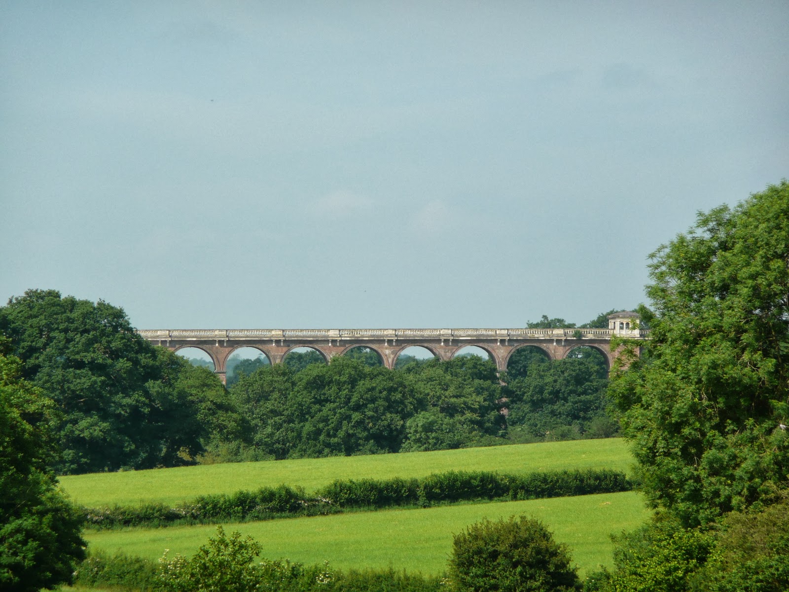
I soon reached the still small River Ouse, now about seven miles from its source at Slaugham. Away in the distance, although somewhat obscured by trees the gigantic structure of the Ouse Valley Viaduct could be seen, still carrying huge numbers of trains each day between London and the South Coast in just the same way as it has been for the last 150 years. As I climbed the valley the other side the viaduct receded from view and I came across a newer but still impressive piece of engineering that has fitted surprisingly well into the landscape; Ardingly Reservoir. Already even though it was still relatively early, the activity around the reservoir was quite intense with hoards of schoolchildren lining up ready for sailing lessons. I didn’t linger too long as I wanted to get away from the noise and headed on towards another harbourage of young people, Ardingly School. I passed through the school quite quickly, mindful that pupils were still having lessons. As I left the school grounds I passed a couple of what I took to be teachers out for a jog. These were the last two people I would see for quite a while.
 |
| Great Saucelands |
The path looped around to access the village from the south east and just before reaching the centre there were excellent views back towards the South Downs and even Clayton Windmills were quite evident. By now I was pretty thirsty so took the opportunity to visit the shop in Ardingly, but it was woefully short of cold drinks so I got what I could and thought about West Hoathly, another four miles further on. What happened next was that for a few minutes I got rather lost as I found the map did not translate very well to what I found on the ground. I ended up walking round and round a wood before finally regaining the path by a stream bridge. The path climbed up out of the valley at this point so that I could get views back across Ardingly. Annoyingly as soon as I had gained the height I lost it again as the path returned back down into the valley once again. At the bottom I passed yet another hammer pond before entering a section dominated by rhododendron plants, mostly coming to the end of their flowering period, but still very attractive.
 |
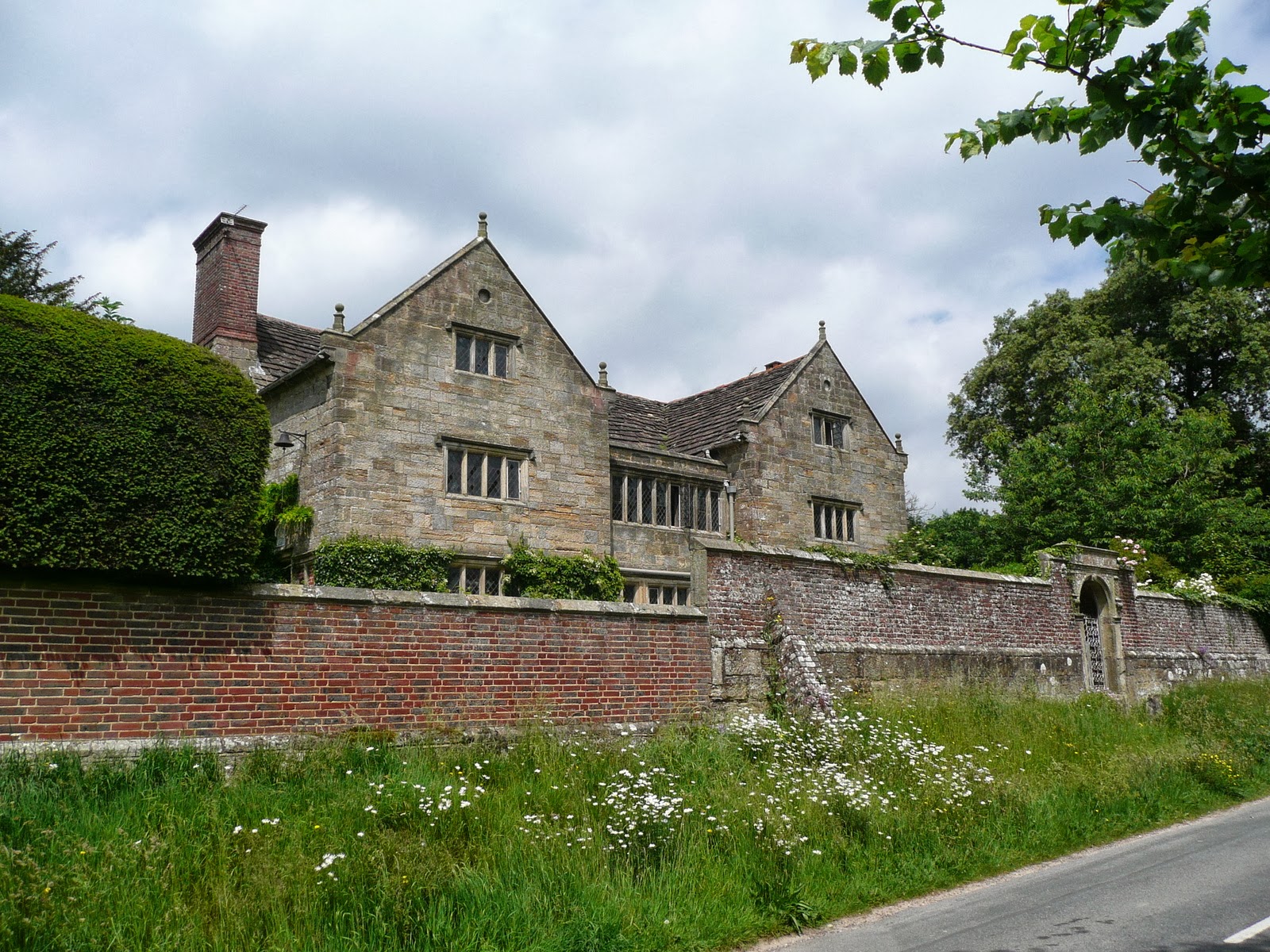
| Priest House |
I climbed out of the valley one more time and through an outdoor pursuits centre that was stuffed full of kids, presumably on a residential school trip since all the bunk rooms had clothing being hung up to dry. The path then joined a substantial looking track that was used extensively by quarrying vehicles. The quarry was right next to the path and I took a quick look, finding a very large hole with a surprising amount of activity going on. The material being taken away looked like it was some form of clay, perhaps for brickmaking.
 |
| West Hoathly Church |
Soon I reached the calm of West Hoathly village, which was quite deserted on this weekday lunchtime. I wandered past the Priest House and the pub and church without seeing a soul. Even the local school was quiet, eerily so. I stopped in the shop for more refreshment and pondered the last five miles of the day as I rested for a moment.
 |
| Old Fashioned Garage |
I passed an old fashioned garage as I left the village that specialised in fixing vintage cars. There were some real beauties on show, including Rolls Royces and Jaguars and it looked like the owner had carved himself a nice little niche.
 |
| Stone Farm Rocks |
The path then crossed the Gravetye estate, now a hotel. The house was visible from afar but surprisingly not up close as the path seemed to deliberately skirt just out of sight. It was a pity as the house looked lovely from a distance and the grounds were beautiful. Soon I crossed into the forested part of the grounds and skirted around the edge before finding myself crossing yet another railway, this time the Bluebell line. I had hoped to see a steam train go by but alas it was the wrong time of day and the service train was in fact down at the other end of the track.
 |
| Weir Wood Reservoir |
On the other side of the line I passed a group of fishermen all slumped in their chairs staring intently at the fishpond looking for a bite. None looked up at me and I passed by completely unnoticed. A little further on, I came upon a sandstone ridge complete with rocky outcrops. When I saw groups of schoolchildren practising rock climbing skills I knew I had arrived at Stone Farm. The view from here out over Weir Wood reservoir was quite spectacular and far below me I could see more groups of children out on the water practising their kayaking skills.
 |
| Standen |
From the rocks the path descended down to the reservoir edge and there were even more children getting ready for water activities. It was clearly school trip week and I had found most of the groups staying in this area. The path followed around the side of the reservoir for a short way before climbing back up onto the sandstone ridge. Instead of following the ridge this time I crossed over and went passed yet another large house, this time Standen, now owned by the National Trust. By now the sun was high in the sky and it was very hot and the last couple of miles through the outskirts of East Grinstead were very hard work. Evetually after negotiating some surprisingly countrified routes through the suburbs I arrived at East Grinstead station, my finishing point for today from where I got the bus back to Haywards Heath.


No comments:
Post a Comment