|
| Weymouth Town Clock |
I was rather determined not to let the year slide by without at least one outing on the South West Coast Path and it seemed appropriate to visit
Weymouth again before the end of the Olympics/ Paralympics.
Sadly I had already missed all the events that had taken place down here but with one day of the Paralympics still to go, I felt fairly sure that all the decorations would be up.
The weather was still very much summer season, although I did not think for
a minute that this would last much longer.
 |
| Paralympics Flags |
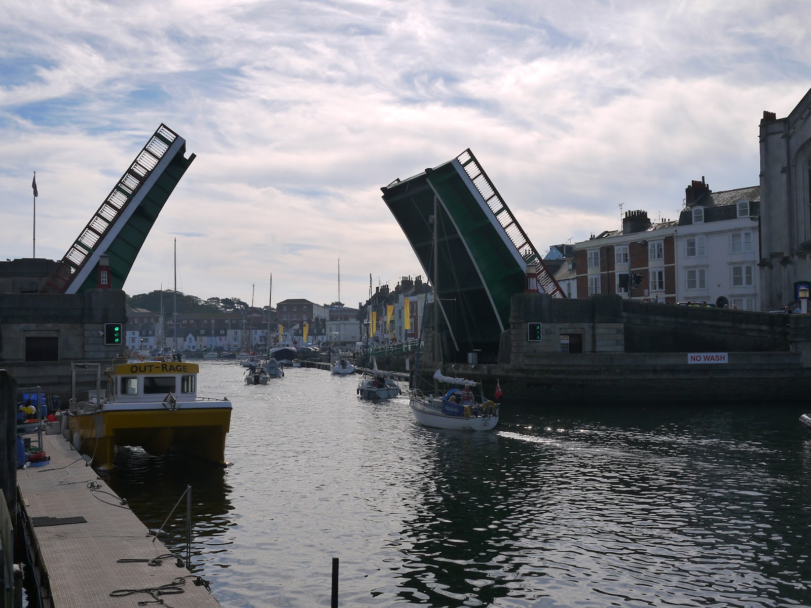
Having explored the Weymouth Harbour Tramway, I turned to beach side of the coast and started the long walk along the Esplanade.
At the ferry terminal end of the seafront a large group of morris dancers and other folk-related groups of dancers were gathering and I took this to be an event marking the Paralympics.
Some of the groups had travelled some distance to be here, arriving from towns in Devon and
Somerset.
They all made for quite a colourful group of people and the atmosphere was definitely one of anticipation for an exciting day ahead.
 |
| Flower Displays |
My sense of anticipation was also building as I headed around the great sweep of the Esplanade.
While I think that there may be other seaside resorts that are better equipped than
Weymouth, there are few that can match its setting.
The extr
a money that had been spent on flowers, flags and other decorations for the sailing events that took place for the Olympics/ Paralympics really made the town look extra special.
It was slightly sad then to see the first of the stuff on the beach being dismantled a couple of days after the sailing events had finished.
It looked like there had been a big beach event the night before, which was being tidied away.
I guess most of the stuff has now gone as I am writing this
a month late
L.
 |
| Tortoiseshell Feeding Station |
I dipped into town to grab some lunch before pushing on, finding that the streets in the town centre were a veritable flagfest.
The community had really gone all out to decorate the town for the visitors and the end result was every bit as good as anything we had seen in
London.
Armed with lunch I went back to the seafront and passed the official Olympic store, which was now unloading the last of its stock before final closedown.
There were no final offers or knock down prices at this stage though, most of the souvenirs were still being sold at the fairly high cost that we had seen in
London.
There weren’t too many takers…
 |
| Weymouth Beach Huts |
The promenade was pretty busy now that the day had got going.
The early morning fog which I had encountered on the train journey down here was mostly gone.
Looking ahead along the stretch of coast that I had to walk today there was still a bit of low cloud hanging around the tops of some of the higher cliffs.
The sun had done its best to clear away the mist, but the day was definitely a hazy sunshine kind of a day, which perhaps wouldn’t be the best for views.
 |
| Bowleze View |
I thoroughly enjoyed my wander along Weymouth seafront, which looked a most agreeable place to stay. Certainly the hotels were an appealing bunch, with most of them traditional in architecture and welcome – no gaudy stuff here! Eventually I came to the edge of town and for the last section of level walking along to Bowleze Cove the path continues along the protective sea wall. At Bowleze Cove I left the road and civilization behind me as I climbed up and over the first piece of high ground for the day. From here on I knew that my way forward would not be so easy.
 |
| Bowleze Cove |
I climbed to the top of the hill and found a seat to stop at and grab my lunch.
Because of the vagaries of public transport between Lulworth Cove and Wool (where I had parked my car) I knew I would actually have a lot of time for exploring and sitting down, for I still had about six hours to complete the remainder of the twelve miles of walking that day.
As I looked out across the bay I felt a pang of disappointment that I hadn’t made more of an effort to come down here during the Olympics/ Paralympics to see our heroes claim a sizable share of the medals on offer.
As an amphitheatre it must have been an excellent place to watch proceedings, although as a non-sailor I would probably have been completely flummoxed by what I was seeing!
 |
| Bowleze Holiday Centre |
The first hill proved to be no more than a starter for the day – I headed down into the bay below and passed a small fairground place, which I later learned was part of the adjacent holiday camp.
The main building of the camp was a 1930s edifice, looking pretty impressive standing on the side of the hill.
Apparently this place can get quite rowdy during the summer months, but all was quiet today.
I have a feeling that it might have served as athlete’s accommodation during the Games.
I thought this because of the official Games coach that was parked outside.
 |
| Osmington Horse |
The path took a better route around the hotel than suggested in the guide book, taking the seaward side initially before bending back and taking an inland route on the other side. I plodded up the next hill, Redcliff Point and stopped briefly at the top to look back at the view across Weymouth Harbour. The countryside along this stretch of the coast had a decidedly autumnal look about it now – many of the summer flowers had set seed, blackberries were beginning to ripen and even the leaves on the trees were on the turn. Yet, there was plenty of insect life about with bees and wasps in particular trying to extract the last of the nectar out of whatever flowers they could find.
 |
| Common Fleabane |
On the landward side of the path I briefly got a very good view of the Osmington White Horse.
This rendition of a familiar theme was cut into the hillside in 1808 and unusually depicts a rider, said to be George III, the monarch who put
Weymouth on the map during his reign.
It looked in great shape, courtesy of the refurbishment that took place in time for the Olympics.
 |
| Cinnabar Moth Caterpillar |
A little further along the coast and I passed by what I took to be another facility provided for the Olympics and a rather surprising and random facility. Out on the open cliff top was a temporary shower that had been fitted presumably alongside a campsite that was now entirely deserted. Private showers would not have been the order of the day here, for each of the shower heads were totally open and not even cubicles were provided. Not the usual thing you find out in the middle of the countryside that’s for sure!
 |
| Clifftop Showers |
I soon came upon the hamlet of Osmington Mills, where my path linked up with the inland route that had followed its way from West Bexington along the chalk ridge to the north of
Weymouth.
I soon realised that I passed
West Bexington a couple of years ago – demonstrating how little progress I have made along the coast path since.
I didn’t bother visiting the shop that is to the north of the path, but had intended to have a quick drink in the pub on the route itself.
When I got there however, I realised that this wouldn’t be the pleasant experience I had hoped it might be because the pub was absolutely overwhelmed with diners and drinkers!
 |
| Redcliff View |
I pushed on, through the beer garden and past a couple of holiday cottages that I made
a metal note of.
These might be a really nice place to stay in future!
My route then took a slightly different and more remote feel than the busy stretch of coast that I had walked along thus far.
The countryside was more akin with that of the area around
West Bexington, suggesting that I had now crossed into an area of different geology.
I was also alone once again, save for the odd walker.
 |
| Smuggler's Inn |
The path briefly got busier again as I reached
Ringstead Bay, a small settlement with some beautiful looking houses resolutely facing out to sea.
As with many other houses I have seen along this coast, many appeared empty, suggesting they were holiday lets or second homes.
I wandered into the village and found a refreshment kiosk, which was very welcome.
By now I was getting a little hot and bothered and although I had water with me, an ice cold one went down a treat!
I decided to hold off on an ice cream until I had properly earned it and I still had the hardest section of walk still to come!
 |
| Keeping Us Safe |
Feeling fortified and refreshed I wandered along the track out of the village, passing a rather uncomfortable looking chaffinch that was hopping along the ground.
He looked rather distressed but it was difficult to tell what was wrong.
I am guessing that he had a problem with his wing as he seemed unable to fly away.
I didn’t get too close as I didn’t want him doing anything he shouldn’t.
 |
| St Catherine's Chapel |
As I left the village I started the long and slow climb up to White Nothe, a very large and impressive looking cliff/ hill on the horizon.
Before doing any proper climbing I found an unusual relic of World War II; a listening station now just a historical curiosity rather than a vital piece of military infrastructure.
I continued plodding up the hill, passing a couple of lonely looking houses and a funny little timber church as I did so.
 |
| Approaching White Nothe |
Eventually I came out into the open once again after a short stretch of woodland and got a sense of how high I was.
Ahead of me was a row of houses, a rather unusual sight for such a high and exposed clifftop.
I guess that they would once have been cottages for the local Coastguards, but in similar fashion to the listening post I had passed earlier, now just formed a historical curiosity.
I took the opportunity of heading across to the end of White Nothe and stopping for quite awhile.
Despite my slow pace I still had plenty of time to kill and it was a pleasure to sit and admire the view for some time.
What struck me was the fact that I was looking at the Isle of Portland from ‘the other side’.
Having seen the same view of it since Exmouth, it was quite refreshing to see it from a different angle.
I was also surprised to see how much higher up than I was from the earlier hills in the day.
 |
| Former Coastguard Cottages |
I was pleased to have had an extended rest on top of White Nothe, for the last few miles into Lulworth were pretty tough going.
I was firmly in chalk cliff country now and the dry valleys between each hill meant that I would need to traverse quite a rollercoaster of hills for about four miles.
Largely I had the path to myself, which was a great relief as I felt like a red sweaty pudding for most of this way and I am sure I couldn’t have been a pleasant sight for anyone passing in the opposite direction!
 |
| Rose Chafers |
Initially though the path was level and as I passed the umpteenth yellow flower of the day, I caught sight of a bright green metallic object on top of the flower.
I was rather surprised to see this and so took a closer look to find that I was actually looking at a beetle.
In fact it wasn’t just one – the whole area of flowers were covered in them!
I later learned that these are called rose chafers and are locally common in the South of England.
This was the very end of their season though – mostly they don’t last beyond August so this was a lucky find.
 |
| Obelisk |
At the end of the chalk ridge I passed by an obelisk (which I assumed was a navigational aid) and then a small sign announcing that I was approaching ‘Scratchy Bottom’.
Sounded more like an affliction than a place to me – I am glad I don’t have to admit to living there!
At this point the rollercoaster nature of the last part of the walk started.
 |
| Clifftop Milepost |
I first went over Bats Head, with a small arch forming underneath and then over Swyre Head, which was much higher but perhaps more attractive.
I cursed at the top of both though as my efforts in reaching the tops were not rewarded with some pleasant level walking but with an almost equally downward slope!
That said, the scenery was staggeringly beautiful and certainly rivalled any chalk coast I have ever walked along previously.
 |
| Swyre Head |
After Swyre Head the path dropped dramatically down towards Durdle Door, perhaps the most photographed natural formation on the whole of the Dorset Coast.
This impressive cliff arch was thronged with people and I stopped at a reasonable distance away so I could view all the activity.
There were some very silly boys tomb-stoning from the cliff edges and plenty of swimmers in the sea.
I should imagine that the water temperature was about as warm as it would be getting this year, on perhaps the last hot day of the summer.
Considering that the bay is some distance from the nearest road, I was pretty impressed by the numbers that had visited.
 |
| Durdle Door |
As I proceeded eastwards it was difficult to take my eyes off Durdle Door, but I soon had to, for the path from there back towards Lulworth was seriously busy.
I soon became aware that many of the voices of walkers on the path were not English.
In fact most sounded Eastern European and most were heading to the beach rather than away from it, despite the lateness of the afternoon.
High above the beach a refreshment truck appeared to be doing a roaring trade, with a queue of at least 30 people waiting for drinks and snacks.
I couldn’t help thinking that this was diversification in action on the part of the farmer!
 |
| Descending to Lulworth |
I had one last, but mercifully short climb to make away from Durdle Door before a gentle descent into Lulworth Cove.
This impressive feature is understandably very popular too and a small settlement has built up around it, principally to serve the tourist traffic.
This was a very welcome place to end my journey, since I had plenty of time to have my long awaited ice cream and look around before getting the bus back.
The Cove itself is formed by the sea breaching a hard limestone bed and exploiting the soft shale like rock behind and creating a scallop shaped bay.
In the late afternoon sun it looked most impressive and a great place to end the day’s walking.
 |
| Bucket Tree |
As I had plenty of time available I wandered along the road towards Lulworth village in order to catch the bus.
It was a welcome way of passing the time, although not really necessary as the bus does serve the Cove itself.
I got a shock when the bus turned up though as it was completely packed to the rafters with Japanese tourists, meaning that I had to stand for the entirety of the lively ride back to Wool Station, approximately 15 minutes away.
 |
| Lulworth Cove |
This section of the Coast Path is incredibly beautiful and although the transport arrangements are a bit tricky, I felt that the length of time between buses from Wool to Lulworth can be used to your advantage.
I had plenty of time to explore the stretch of path fully and did not feel at all rushed.
This is probably as it should be on such a fantastic section!